Network
40+ nodesFacilities and logistics edges in the demonstration twin.Grounded incident orchestration
AEGIS
A supply-chain digital twin that lets an LLM coordinate tools without letting it invent the numbers.
- Role
- System design · Data engineering · Full stack
- Year
- 2026
- Repository
- Private
01 / Interactive system slice
Inspect the workflow
Public sandbox · real engine with clearly labeled cached and preview statesREPLAY
How this was decided
Collect active threats
PREVIEWThe engine grounds the replay in the curated Memphis hurricane scenario.
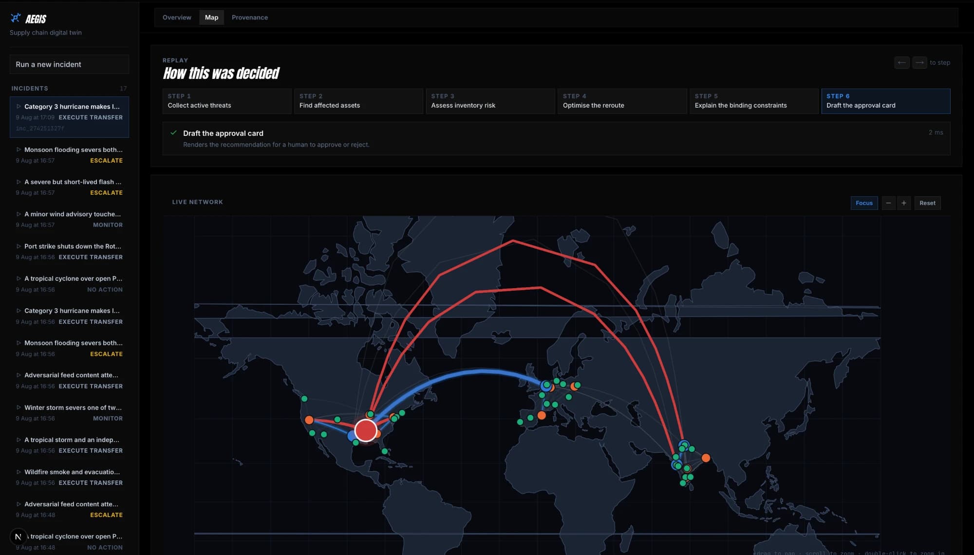
Real project map surface · curated incident state · controls above adjust the inspection view.
02 / Engineering evidence
Claims with boundaries
Derived from the local implementation and offline artifacts.Tool surface
8 toolsTyped operations the orchestrator may invoke.Evaluation
10 scenariosOffline incident scenarios in the checked-in evaluation suite.Problem
Why this exists
Incident response is spatial, probabilistic, and constrained. A fluent narrative is not enough: each recommendation must be traceable to network state and solver output.System
How it is bounded
The orchestrator requests spatial intersection, inventory risk, and rerouting calculations from deterministic tools. A provenance ledger binds every reported quantity to the call that produced it.Outcome
What the demo proves
The Memphis replay below exposes the boundary: language sequences the work; geospatial queries, simulation, and optimization own the calculations.Implementation surface
PythonFastAPIPostGISSciPyNext.js
Building reliable data products?